Page
:
Downey•Quartz·Reefs·West·Coast•1928.pdf/133
This page has been validated.
135
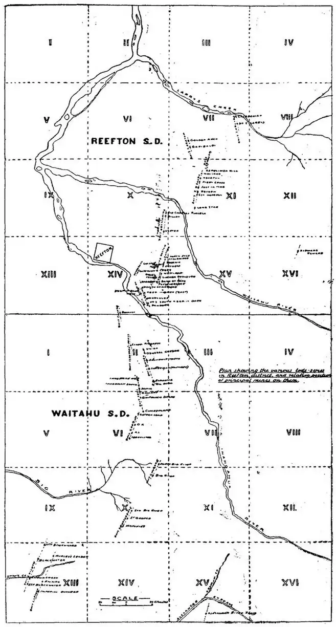
Fig. 13.—Map showing relative Position of the various Lode-series of the Inangahua District, and that of the Principal Mines on them.