|
|
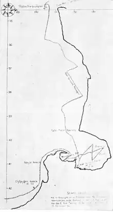
Left―
Tasman’s Chart. The Department of Scientific and Industrial Research has ascertained, through the General Assembly Library, the Netherlands’ Consul, and Centennial House, that the name given to Cape Foulwind on Tasman’s original map was the Clyppygen Hoeck, the modern spelling being Klippingen Hoek, meaning “rocky corner,” or “rocky point.”
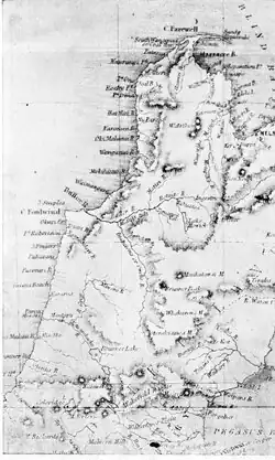
Right―
Portion of map published in 1855 by Rev. Richard Taylor, M.A., F.G.S.
|
|